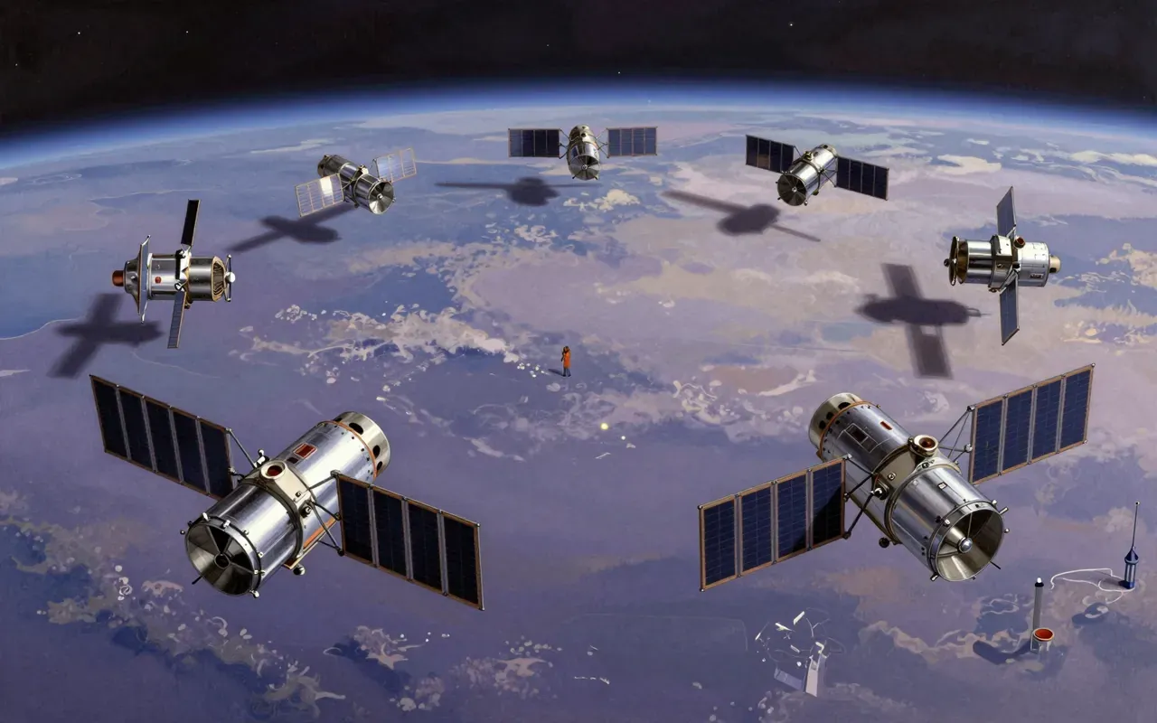
GOES delivers persistent, real-time environmental monitoring across the Americas using geostationary orbit and three-axis stabilisation. It works for its defined purpose: storm tracking and forecasting. It fails outside that scope—no poles, no global reach, no high-res land analysis. Its value lies in continuity, not novelty.
Who should study it, and who should skipHide who it is for
The written brief1 min read
What it is and the problem it solves
GOES is a NOAA-operated geostationary satellite system. It solves the problem of intermittent weather observation by delivering uninterrupted environmental data for forecasting and severe storm tracking.
How it works
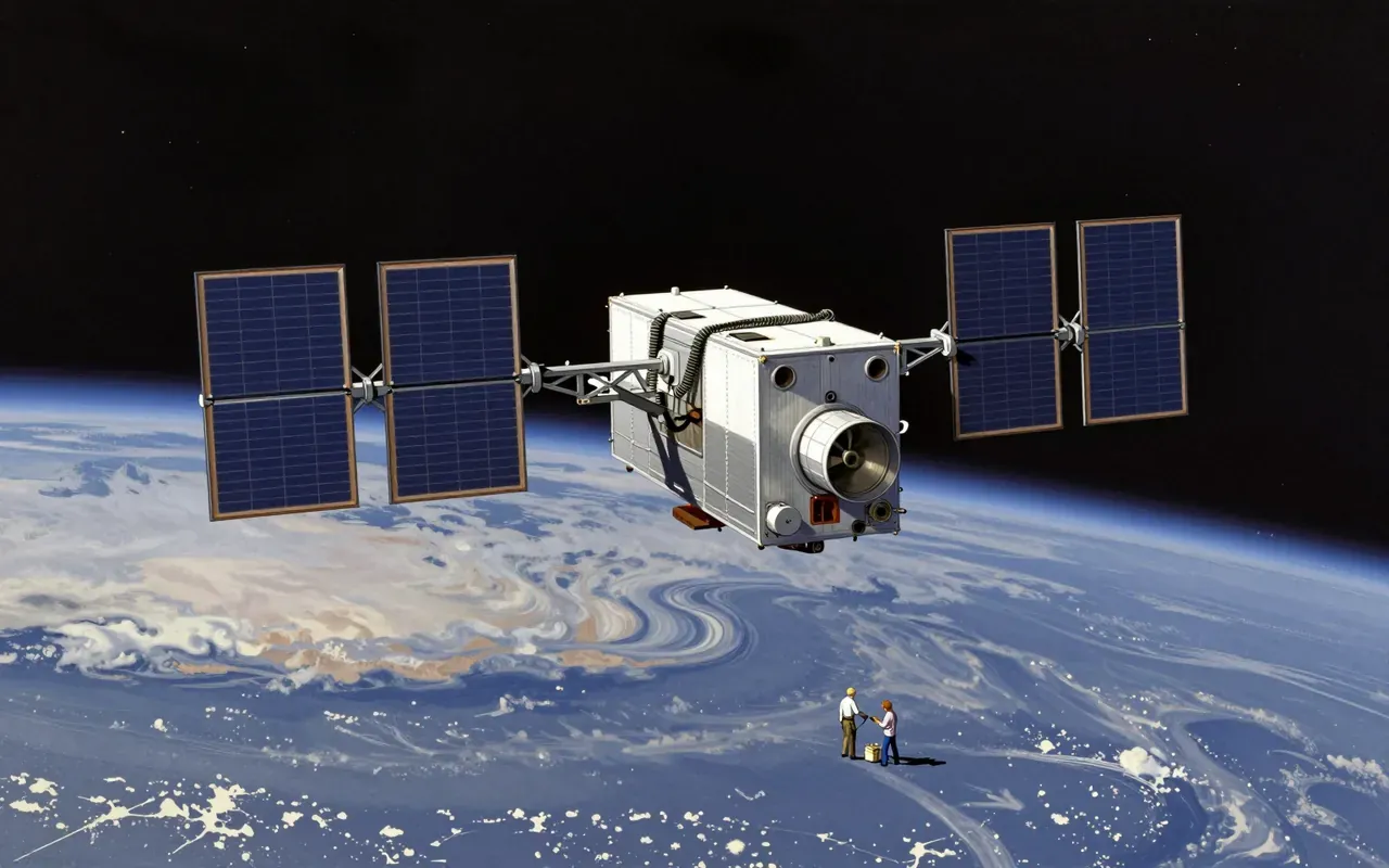
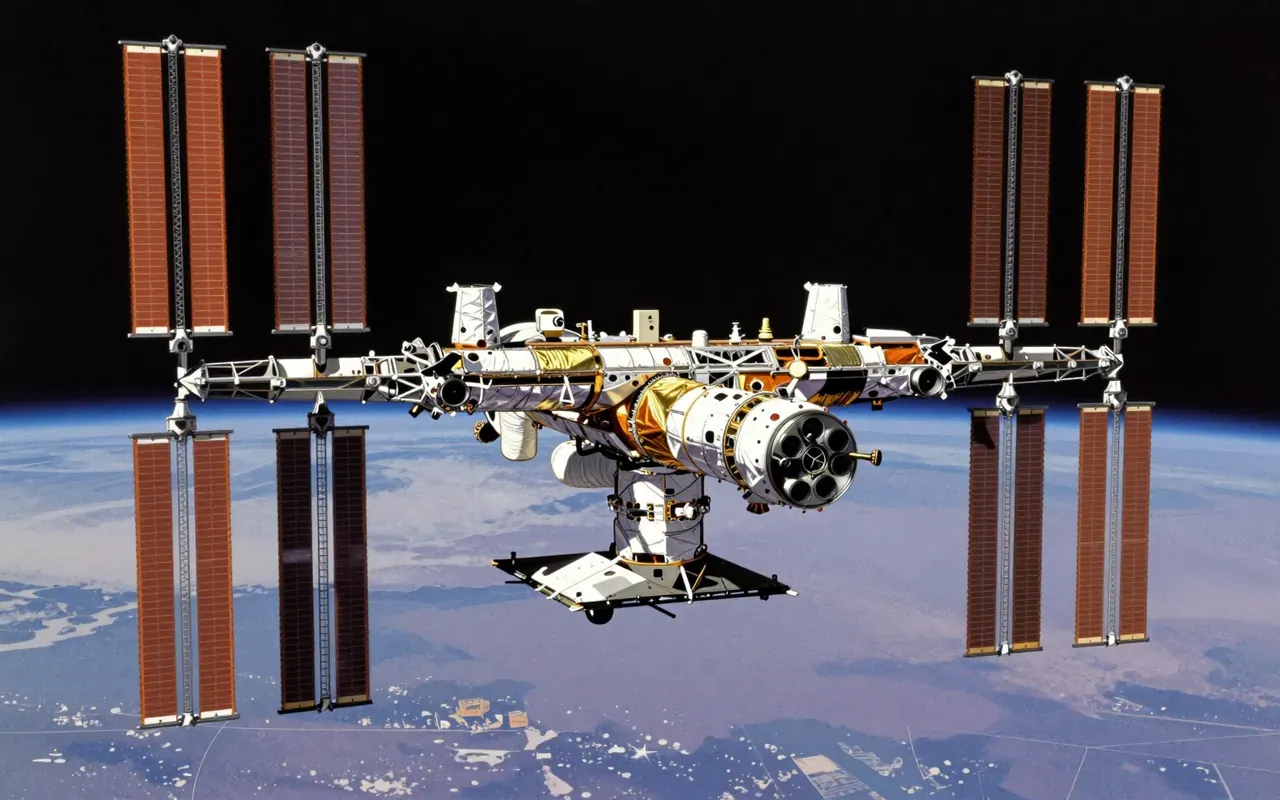
GOES uses geostationary orbit at 35,790 km to maintain fixed position over the Americas. It relies on three-axis body-stabilised spacecraft that stare continuously at Earth. NASA oversees satellite procurement, design, and manufacture. NOAA operates the system and delivers terrestrial and space weather data via integrated spacecraft and ground systems.
What works
The geosynchronous equatorial orbit—used since SMS-1 in 1974—enables persistent viewing. The three-axis stabilisation allows frequent cloud imaging, surface temperature and water vapour monitoring, and atmospheric sounding. This delivers real-time coverage of severe local storms and tropical cyclones.
What does not
It does not cover polar regions. It does not image beyond its fixed field: North and South America and adjacent oceans only. It does not replace low-Earth-orbit satellites for rapid revisit or detailed land-surface analysis.
What it changes
It enables persistent, real-time observation of evolving storms and atmospheric phenomena across the Western Hemisphere. It establishes a continuous, operational baseline for U.S. weather forecasting—not research-only, but mission-critical infrastructure.
Is it worth your time
Yes—if your work depends on real-time storm tracking or atmospheric monitoring across the Americas. No—if you need global coverage, polar observation, or high-resolution surface imaging outside its fixed field of view.